
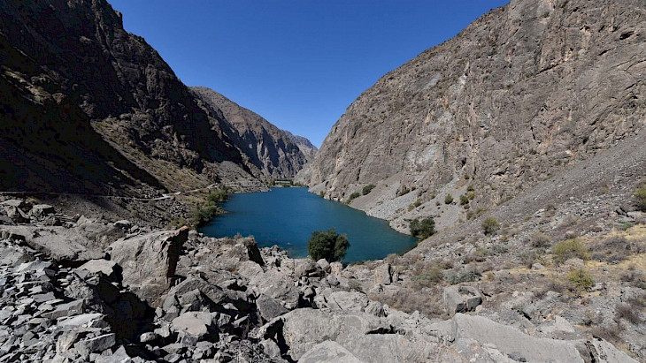
Tajikistan has begun implementing the automated THAW (Transient Hydrologic Anomalies Weekly) tool to identify new and anomalously changing mountain lakes that could pose a danger in the event of a breakthrough. This was reported by the country's Hydrometeorological Agency.
A practical seminar on using the system took place on August 21 in Dushanbe. It was attended by specialists from the Hydrometeorological Agency, the Institute for Glacier and Cryosphere Studies and the Institute of Water Problems, Hydropower and Ecology of the National Academy of Sciences of Tajikistan.
THAW uses Sentinel-1 SAR satellite data and the Google Earth Engine platform to regularly monitor changes in surface water bodies and identify areas that require additional monitoring.
For Tajikistan, the introduction of THAW is important, since the remoteness and difficult terrain of mountainous areas make constant ground monitoring of lakes difficult. Satellite monitoring allows for increased observation coverage and faster detection of changes potentially associated with the risk of glacial lake outburst.
It is especially important that the technology is being implemented within the framework of the regional GLOFCA project, aimed at reducing the vulnerability of the population of Central Asia to such threats.
However, THAW should be considered primarily as an early detection tool. Satellite data does not replace field research, but helps experts identify bodies of water that require more detailed testing. The combination of remote monitoring, ground-based observations and early warning systems can significantly improve the preparedness of countries in the region to hydrological risks.
CentralAsianLIGHT.org
August 24, 2026