
Uzbekistan has already implemented a space monitoring program covering ecology, water and forestry, said Deputy Director of the Uzbekcosmos Agency Mukhiddin Ibragimov, Eurasiatoday.ru reports.
"We have digitized 60 of the country's largest reservoirs. We can track online how much water has been accumulated, how it is used and for what needs it is directed. The main consumer is agriculture," Ibragimov said.
According to him, the goal of the project is to track the state of transboundary water bodies, such as the Syr Darya River, for effective water management, preventing water shortages and responding to environmental challenges, including the effects of climate change.
To implement this project, the participants, primarily Kazakhstan and Uzbekistan, use satellite data (remote sensing of the Earth) to obtain information on water levels, the quality of reservoirs, ice cover and changes in river basins.
The project is based on a memorandum signed in 2024 at a forum in Tashkent between the space agencies of the two countries (Kazakhstan Gharysh Sapary and the Uzbek Space Agency).
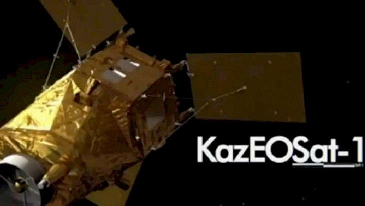
Kazakhstan has Earth remote sensing satellites such as KazEOSat-1 and KazEOSat-2, developed as part of the national space program. These satellites are capable of providing high-resolution data for monitoring water bodies, including rivers, lakes and glaciers.
International satellite systems such as Copernicus (a program of the European Space Agency) could theoretically be involved in supplementing the data. Cooperation with Russia (the Kanopus-V or Resurs-P satellites) is also possible.
CentralasianLIGHT.org
June 10, 2025